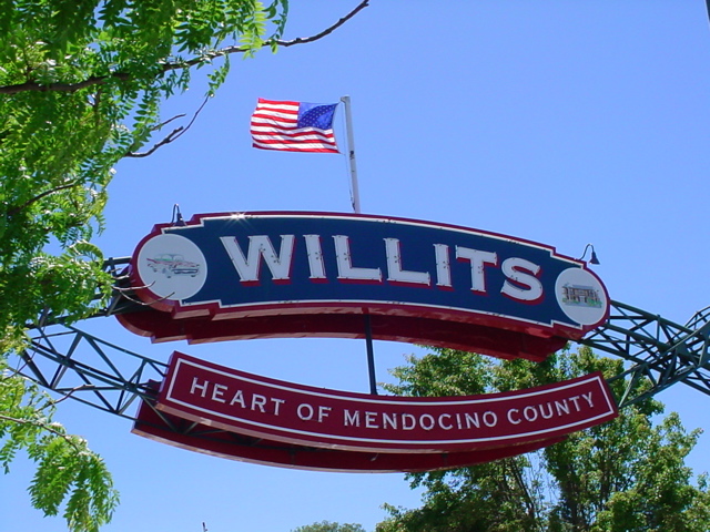
And we all know where it is, what is there, and how to get there.
On the way out of the city, consider stopping for a moment at the Golden Gate Vista Point.
They have rest rooms there.
It has been many years since I've visited there and the drive-in was old and rather shoddy then.
US-101 now bypasses Cloverdale so I don't know if the drive-in still exists.
There was once a recreational development called Brooktrails just northwest of town. Dena and I received a home site there from her father along with the payments there on.
Laytonville hosts something called Earthdance Northern California each year.
Leggett is home of the Chandelier Drive-Through Tree. Soon after Legget is the tourist trap Confusion Hill, fun to see.
This is the home of the Shrine Drive Thru Tree. Look for exit 656.
This is a good place to turn onto Avenue of the Giants if you have not yet done so.
Just north of Myers Flat is Williams Grove on the left side of the highway.
Weott is also on the Avenue of the Giants. We had friends who would vacation here over the summer.
There are a large number of camping and picnicing parks around here. See map
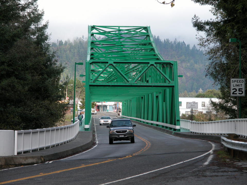 Scotia is
still largely a lumber company owned town. As we ride past, the
saw mill and lumber yard will be a couple miles long. Just the other side of the Eel
river is the town of
Rio Dell.
Scotia is
still largely a lumber company owned town. As we ride past, the
saw mill and lumber yard will be a couple miles long. Just the other side of the Eel
river is the town of
Rio Dell.Ruth's Notes -- Remember how there were company logging towns, similar to the coal miners, well one of these 2 towns were built for the married loggers and their families, the other town was built for the women who "serviced" the unmarried loggers. There was no bridge in those days, but the men would row across in a small boat for an evening's entertainment.
When we were teenagers, a lady named Pearl Gloat contacted my father because he was president of the congregation. Pearl wanted to get back in touch with her Jewish roots. Once a month, when a Rabbi came to Eureka,
my Mother would send either Myron or I to go and pick Pearl up on Friday after school, bring her back to our house. She would have dinner with us, go to services and then spend the night and we would drive her back. Your uncle and I never minded this chore because we loved to drive and we really enjoyed her company.
Pearl got off a train in the mid twenties, stopped on the "servicing" side of town and decided this was the place for her and she had been there ever since.
Ask me some time about Fortuna, Rio Dell and the flat tire.
 We may not actually go through
Ferndale.
We may not actually go through
Ferndale.It is about a 10 mile side trip through some of the richest dairy farming area in the world. What makes it so rich? The river floods all the fields about every 5-10 years. Ferndale itself is home to an artist community and fabulous Victorian homes. At the begining of the last centery, the dairy farm owners worked on the farms but lived in the town and each tried to out do the others in building their house.
Each year, Ferndale has America's Tallest Living Christmas Tree.